Buying near the Charleston coast comes with a different kind of due diligence. A home’s views, beach access, or island location may be easy to picture, but flood-zone details, elevation, and insurance costs can shape your budget and long-term plans just as much. If you are considering a coastal property in Charleston, this guide will help you understand how flood zones work, what to verify before you make an offer, and how insurance and lending fit into the picture. Let’s dive in.
How flood zones work in Charleston
Charleston-area coastal properties are mapped through FEMA Flood Insurance Rate Maps, often called FIRMs. These maps show whether a property is in a Special Flood Hazard Area, along with base flood elevations and flood-risk zones. According to FEMA’s flood map guidance, common high-risk zones include A, AE, AO, AH, and V or VE.
In simple terms, V and VE zones point to coastal wave-action hazards, while AE and other A-zones use base flood elevations to show the expected flood elevation during the base flood event. In Charleston, there is also a Coastal A Zone landward of the LiMWA line, where waves can reach 1.5 to 3 feet during that event. That is one reason two homes on the same island can have very different building requirements and insurance costs.
Just as important, a map does not tell the whole story. The City of Charleston’s floodplain mapping resources note that areas outside the SFHA can still face drainage issues, sea-level rise, storm surge, or other unmapped hazards. The city also uses a design flood elevation that is higher than the FEMA base flood elevation because of required freeboard.
Why map location is only part of it
If you are comparing homes in Charleston, Folly Beach, Isle of Palms, Sullivan’s Island, or James Island, the key question is not just “What zone is this?” It is also “How is this specific structure positioned and built relative to that risk?”
That is because insurance pricing and lender requirements can depend on more than the zone label. FEMA explains that under Risk Rating 2.0 for single-family homes, premiums are influenced by flood type, proximity to water, foundation type, first-floor elevation, replacement cost, and mitigation features. For buyers, that means elevation data and property-specific documents matter.
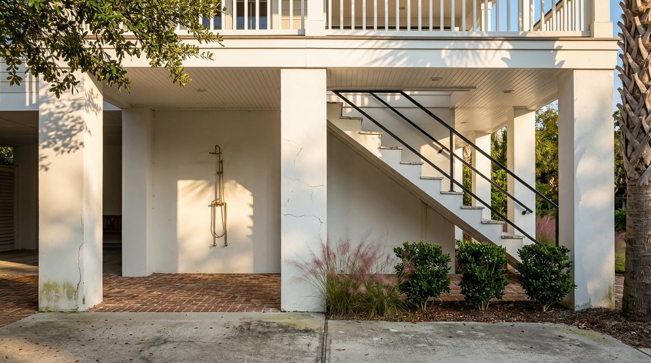
This is especially true in coastal Charleston, where raised construction, enclosure details, vents, breakaway walls, and local code standards can all affect risk and cost. A home that looks similar from the street may perform very differently on paper when the insurer and lender review it.
How to read flood maps before making an offer
Your first stop should be the FEMA Flood Map Service Center. You can search by address, pull the official map or FIRMette, and confirm whether the parcel appears to be inside a Special Flood Hazard Area.
FEMA also notes that preliminary FIRMs are not final regulatory products. So if you see a draft or preliminary map, treat it as helpful context, not the final answer for underwriting or permitting.
For Charleston-area buyers, local review adds important detail. Charleston County’s floodplain office says it can help identify whether a property is in a Coastal A Zone, a COBRA zone, a mapped repetitive-loss area, a dam-failure inundation zone, or an area with known flood depth. That makes a local flood-hazard letter more useful than a simple screenshot when you are comparing homes.
Ask for the elevation certificate early
One of the most useful documents in a coastal purchase is the elevation certificate, often called an EC. The City of Charleston’s elevation certificate page explains that an EC can help you understand flood risk, evaluate mitigation options, and potentially reduce premiums.
In some cases, the certificate may already be available through local records. If not, Charleston County says it may need to be completed by a South Carolina licensed surveyor or engineer. Either way, getting it early can help you avoid surprises later in the contract period.
When you review the EC, focus on the lowest floor relative to the base flood elevation or design flood elevation. That relationship can directly affect insurability, compliance, and cost.
Insurance basics Charleston buyers should know
Flood insurance is separate from a standard homeowners policy. The South Carolina Department of Insurance states that homeowners insurance typically does not cover flood damage.
Depending on the policy, flood insurance can cover the building, contents, or both. If the home is in a Special Flood Hazard Area and the mortgage is federally backed or otherwise federally regulated, flood insurance is generally required. Even outside the SFHA, a lender can still require coverage.
Timing matters too. The state insurance guidance notes that there is typically a 30-day waiting period before an NFIP flood policy takes effect unless an exception applies. If you are under contract on a coastal property, that is not something to leave until the last minute.
Coverage limits and supplemental options
For many residential properties, the NFIP offers limited coverage caps. According to FloodSmart’s coverage overview, the maximum regular-program limits are typically $250,000 for building coverage and $100,000 for contents coverage.
If the home’s replacement value is higher than those limits, you may need private flood insurance or supplemental coverage to close the gap. This can be especially relevant in Charleston’s island and coastal markets, where replacement costs may exceed standard NFIP limits.
The same source notes that some substantially damaged or repetitively damaged structures may qualify for up to $30,000 in Increased Cost of Compliance coverage to help elevate, floodproof, relocate, or demolish the structure. That will not apply to every situation, but it is a useful feature to know about when evaluating risk.
Location notes for Charleston coastal buyers
Folly Beach flood rules
Folly Beach offers one of the clearest examples of a fully exposed coastal market. The City of Folly Beach flood information page states that the entire city is in a flood hazard area.
The city also enforces V-zone construction standards throughout the city, even in A zones. Folly Beach says flood insurance is available for homes and businesses, and its CRS participation provides a discount on yearly premiums for property owners.
Isle of Palms flood context
On Isle of Palms, flood review is part of almost every property search. The City of Isle of Palms flood information page says the island is a barrier island with low elevation above sea level, so properties are either in or very near a flood plain.
The city also notes that new construction and substantial improvements must meet current FIRM standards. VE-zone plans require architect or engineer certification, and AE-zone work often requires an architect’s stamp unless exempted.
Sullivan’s Island mapping details
Sullivan’s Island buyers should pay close attention to current mapping and documentation. The Town of Sullivan’s Island floodplain maps page says its current base flood elevation maps became effective on January 29, 2021.
The town also advises owners to keep an elevation certificate on file and share it with their insurer. If you are comparing older homes or lots, that document can be especially valuable.
James Island jurisdiction matters
With James Island, the first question is often which jurisdiction governs the property. The Town of James Island FAQ directs residents to Charleston County’s FEMA flood-zone maps and floodplain office.
Charleston County says it can issue flood-zone determination letters for unincorporated James Island and can identify whether a property is in a Coastal A Zone, a repetitive-loss area, or a dam-failure inundation zone. That extra detail can be very helpful before you commit to a purchase.
Smart pre-offer questions to ask
Before you write an offer on a Charleston coastal property, ask questions that go beyond the listing photos and tax record. A few focused questions can save time, money, and stress.
Here are some of the most useful ones:
- What is the property’s effective FEMA flood zone, and is it landward or seaward of the LiMWA? You can review this using Charleston’s Know Your Flood Zone resource.
- Is there an elevation certificate, and what does it show for the lowest floor relative to BFE or DFE?
- Has the property had prior flood claims, repetitive-loss status, or major flood-related repairs?
- Does the structure appear to meet current local flood-design rules for features such as enclosures, breakaway walls, flood vents, and freeboard?
- What is the current flood insurance quote, and will the lender require coverage even if the lot appears outside the SFHA?
In many Charleston coastal transactions, the biggest issue is not whether flooding is possible. It is whether you have a clear picture of the property’s mapped risk, structural details, and likely insurance requirements before your due diligence window closes.
A practical way to compare coastal homes
If you are choosing between two or three homes near the water, try comparing them on the same checklist. Look at the effective flood zone, elevation certificate, first-floor height, local jurisdiction, known flood-history questions, and estimated insurance cost.
This side-by-side approach can make a big difference. Two homes with similar price points and locations may carry very different monthly ownership costs once insurance and mitigation needs are factored in.
That is where local guidance matters. When you work with a team that understands Charleston’s neighborhoods, island markets, and property-specific details, you can evaluate not just the home itself but the full lifestyle and ownership picture. If you are planning a coastal purchase and want help sorting through the map, insurance, and neighborhood questions, connect with Weichert, Realtors® - Lifestyle for personalized guidance.
FAQs
What does a flood zone mean for a Charleston coastal buyer?
- A flood zone helps show a property’s mapped flood risk, including whether it is in a Special Flood Hazard Area and what elevation standards may apply.
What is an elevation certificate for a Charleston home purchase?
- An elevation certificate is a property-specific document that shows elevation details used to understand flood risk, confirm compliance, and sometimes help lower insurance premiums.
Does homeowners insurance cover flood damage in South Carolina?
- No. Standard homeowners insurance typically does not cover flood damage, so separate flood insurance may be needed.
When is flood insurance required for a Charleston property?
- Flood insurance is generally required when a home is in a Special Flood Hazard Area and the loan is federally backed or federally regulated, though lenders may also require it outside the SFHA.
Why can two Charleston coastal homes have different flood insurance costs?
- Premiums can vary based on factors such as proximity to water, flood type, first-floor elevation, foundation type, replacement cost, and mitigation features, not just the flood-zone label.
What should a buyer verify before making an offer on a Folly Beach or Isle of Palms home?
- You should verify the effective flood zone, elevation certificate, local construction standards, any flood-history concerns, and the likely flood insurance requirement and premium.