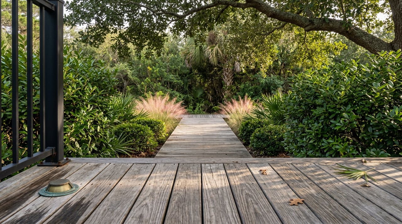
Walk the boardwalk at Station 16 on any weekday evening this August and you'll pass through the same green corridor regulars have used for exercise, dog walks, and sunset viewing for more than a year now. What most people walking it don't know is that the ground under their feet is one of the youngest pieces of land on the island, and a court ruling handed down earlier this year made sure it stays exactly as wild and unmanicured as it feels.
That combination, a finished trail through a forest still legally protected from being cleaned up, is the story locals have been living through without necessarily connecting the dots.
A Forest Built by a Jetty, Not by Time
The land the trail crosses did not exist when Fort Moultrie was built. At the trail's ribbon-cutting on April 22, 2025, Mayor Patrick O'Neil traced the site's history back to 1896, when jetties were installed near the harbor entrance and began trapping sand, a process that slowly built the accreted land the maritime forest now sits on. Roughly 120 years after British warships anchored offshore for the 1776 battle, sand was still piling up where those ships once floated.
Rebecca Fanning, the town's Director of Resilience and Natural Resource Management, put it plainly at the same dedication. She told the crowd to look around and recognize that this isn't ancient wilderness. It's young, still forming, and still changing.
"But despite its youth, you should not underestimate its power of resilience. This is an incredibly dynamic environment."
That framing matters if you've ever wondered why the trail looks more like undergrowth than a manicured park path. It's not neglect. It's a forest that is, geologically speaking, still a work in progress, now covering roughly 150 acres according to the town's account at the dedication, up from a smaller footprint when the original loop opened nearly a decade earlier.
Two Lawsuits, One Forest, and a Ruling Earlier This Year
The maritime forest has been a source of friction on the island for years, and that friction came from two different directions.
The first was procedural. When the town began constructing Phase 2 of the trail in 2024, connecting the beach access at Station 16 to the lighthouse at Station 18½, some residents pushed back hard. Twenty-seven residents wrote to the town that July and August expressing concern about privacy and construction near their backyards, and one homeowner filed suit alleging the town approved funding and construction without proper public notice. The town held a special council meeting on July 31, 2024, and confirmed unanimous council support along with a grant from the South Carolina Department of Parks, Recreation and Tourism. The trail opened anyway, on schedule, the following spring.
The second dispute ran longer and cut deeper. It traced back to a 2020 settlement agreement between the town and homeowners abutting the forest, one that would have required an aggressive tree-thinning plan. That agreement was overturned by a circuit court in 2023, and the homeowners appealed. On February 25, 2026, the South Carolina Court of Appeals rejected that appeal, closing the door on the thinning plan for good. The paper's own framing of the outcome was direct: the forest will stay wild, with minimal intervention.
So the two threads land in the same place. The trail that residents now treat as a fixture of daily life runs through a forest that a state appellate court has formally decided will not be cleaned up, thinned, or tamed. If the path feels a little overgrown in spots, that's not an oversight. That's the legal outcome.
What the Two Miles Actually Looks Like
The full route, as described on the town's own nature trail page, runs about two miles, linking the beach at Station 16 to Fort Moultrie and the Charleston Light. It's a joint effort between the town, Charleston County's Greenbelt Program, the state's Parks, Trails, and Recreation office, and the Lowcountry Land Trust, which together funded the protected acreage and its boardwalk sections.
The dedication ceremony did more than cut a ribbon. Mayor O'Neil and the council used the moment to honor longtime islanders Susan and Larry Middaugh, credited with pushing for the original Beach Loop Trail nearly ten years before Phase 2 existed. Susan unveiled a sign at the ceremony recognizing their advocacy, a detail that tells you this trail has been a decade-long community project, not a single grant-funded construction job. Charleston County Councilmember Larry Kobrovsky and Town Councilmember Gary Visser both spoke at the event, each pointing to the forest as something residents have chosen, repeatedly, to protect rather than pave over.
The Detours You'll Actually Run Into
None of this happens in isolation from the rest of the island's infrastructure work. The town's project notices this year also included a closure of Station 31 Street at I'On Avenue for stormwater utility work, plus a detour routed around Station 30 and Station 32 on Middle Street that began January 5. If your usual walk to the trailhead runs through either stretch, check the town's current notices before assuming a closure from earlier this year has cleared.
It's a small detail, but it's the kind of thing that separates a resident's understanding of the island from a visitor's. The trail gets the ribbon-cuttings and the dedication ceremonies. The stormwater detours get a notice buried on a town webpage. Both are part of living here right now.
Where the Walk Actually Ends
Ask anyone who does this loop regularly and the route rarely ends at the lighthouse. It ends on Middle Street.
Poe's Tavern, at 2210 Middle Street, keeps its patio dog-friendly, which matters if your two miles included a leash the whole way. A few doors down, Home Team BBQ at 2209 Middle Street runs live music most weeks and holds a standing trivia night every Tuesday, the kind of recurring fixture that turns a restaurant into a habit. For something closer to a sit-down dinner, The Obstinate Daughter's wood-fired menu, built around Lowcountry farms and fishermen, is the spot regulars point newcomers toward.
None of these businesses exist because of the trail. But the trail's completion has made the walk from Station 16 to Middle Street feel like one continuous loop rather than two separate errands, which is probably the most understated way the island has changed in the past sixteen months.
The Part That Doesn't Change
The legal fights over this forest go back further than most people walking it realize, and the resolution this spring didn't settle the debate by picking a side so much as it confirmed the side that had already been winning quietly for years: leave it alone. The land is young, still accreting, still shifting with every storm and every season, and the courts have now made sure it gets to keep doing that without a mandated cleanup crew showing up to tidy it.
If you live here, that's probably good news. The wildness is the point, and now it's the law.
If you're the kind of person who reads a post like this and starts wondering what a home near Station 16 or along Middle Street might actually be worth in today's market, that's a different conversation, and one Brad Williams is glad to have. Reach out anytime for a home valuation grounded in what's actually happening on this island, not just what the portals say.