If you have been looking at Mount Pleasant as one big place, you may be missing the detail that matters most: how your day will actually feel once you live there. In a town this large, your routine can change a lot from one area to the next, whether you care most about water access, quick errands, trails, or club amenities. The good news is that once you understand those lifestyle patterns, it gets much easier to narrow your search with confidence. Let’s dive in.
Why Mount Pleasant Feels So Different
Mount Pleasant is not a single, uniform suburb. The Census Bureau estimates the town’s 2025 population at 95,469, with a 73.6% owner-occupied housing rate, a median owner-occupied home value of $748,500, median household income of $124,755, and a mean travel time to work of 24.9 minutes.
It also covers 49.53 square miles, which helps explain why daily life can feel very different depending on where you live. In some areas, your routine may include walks near the water or local parks. In others, it may revolve more around driving, golf, shopping corridors, or trail systems.
That is why many buyers do not just compare Mount Pleasant to other towns. They compare one part of Mount Pleasant to another and ask a more practical question: What will everyday living look like here?
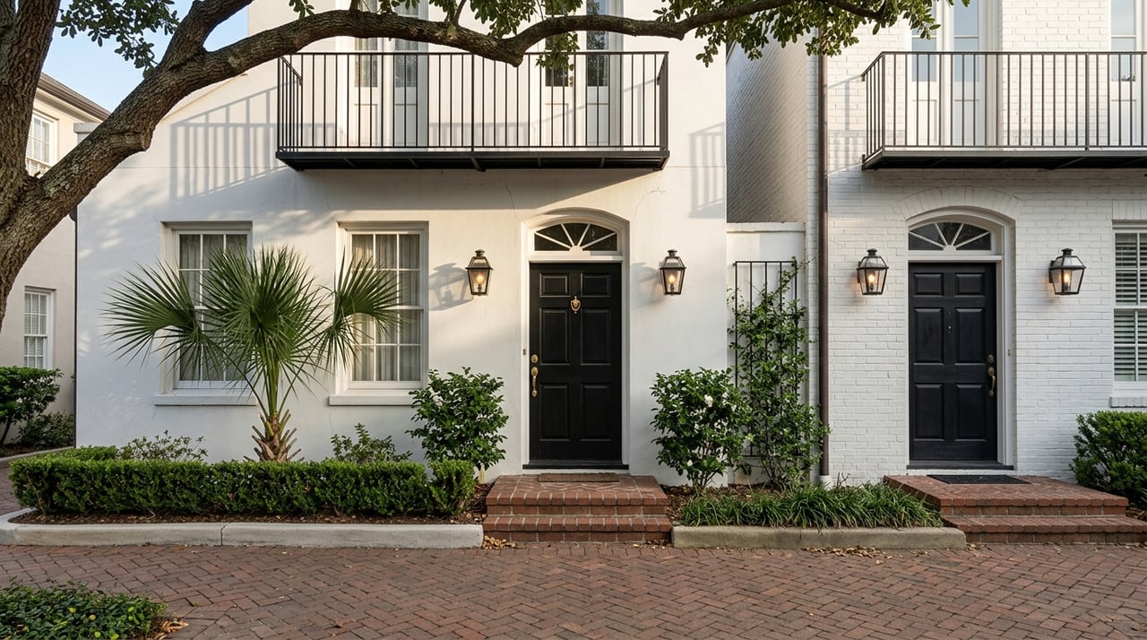
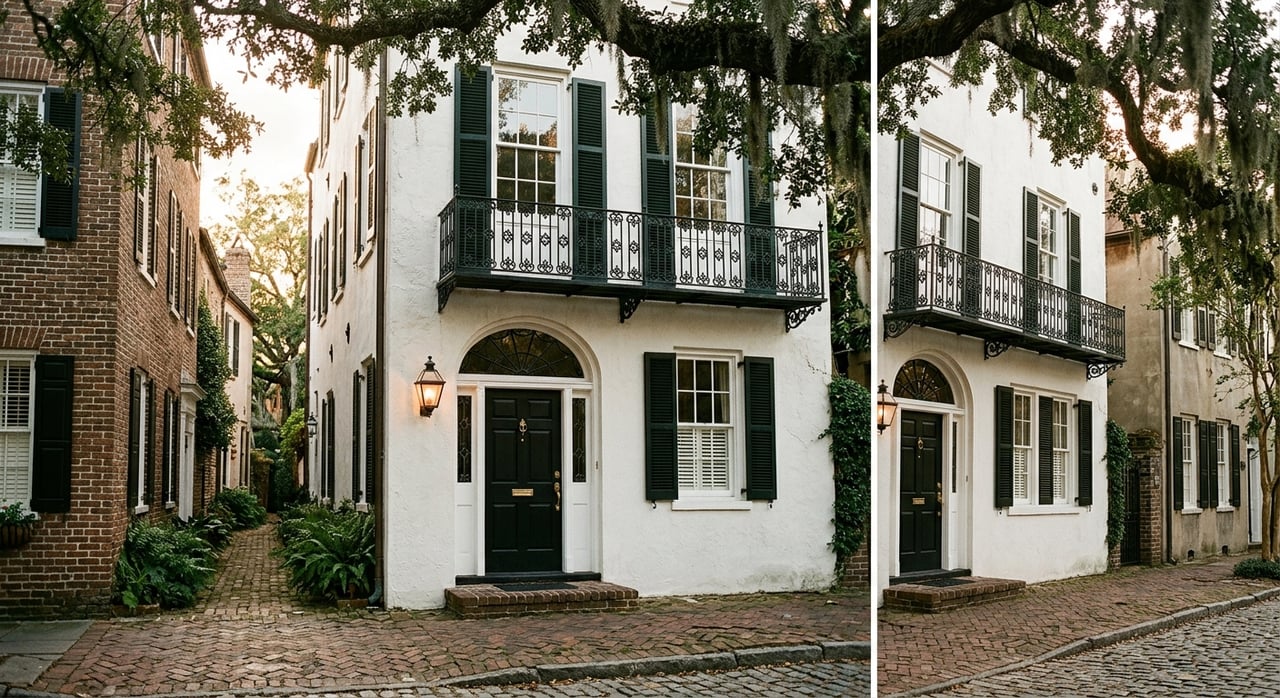
Waterfront Areas Feel Scenic and Walkable
The waterfront and historic pockets of Mount Pleasant often feel the most character-driven. The Town identifies the Old Village Historic District as the area bounded by Charleston Harbor, Shem Creek, Royal Avenue, and McCants Drive, with Shem Creek serving as a traditional harbor and commercial hub for centuries.
In everyday life, this part of town often feels more pedestrian and water-oriented than many inland neighborhoods. You may find yourself drawn to public spaces like Shem Creek Park, which includes ADA access, fishing, parking, restrooms, and a walking trail.
Memorial Waterfront Park also adds to that outdoor rhythm. Its completed Phase III includes a splash pad, basketball and pickleball courts, a dog park, an exercise area, and a walking track, which gives nearby residents more ways to spend time outside close to home.
What daily life often feels like
If you prefer a neighborhood with strong visual character and easy access to waterfront spaces, this part of Mount Pleasant may stand out. Your routine may include more walking, more time outdoors, and more connection to harbor views and public gathering spaces.
At the same time, buyers should go into these areas with clear eyes about ownership details. For homes on waterfront or low-lying streets, flood planning becomes part of daily decision-making.
Flood awareness matters here
The Town says Mount Pleasant experiences localized flooding and storm-surge flooding. It participates in the National Flood Insurance Program and Community Rating System, and it directs residents to official flood mapping resources.
For you as a buyer, that means it is smart to verify flood zone, elevation, drainage patterns, and likely insurance costs before making an offer. The takeaway is not to avoid these neighborhoods, but to understand the practical side of owning in a more water-connected setting.
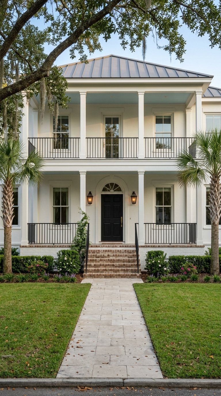
Golf Communities Center on Amenities
Mount Pleasant’s golf-course communities often offer a different kind of lifestyle. These neighborhoods tend to feel more internally focused, with recreation and social activity concentrated around community or club amenities.
Dunes West, for example, sits along the Wando River, Wagner Creek, and Toomer Creek, and its club offerings include a championship golf course, clubhouse, pool, tennis, and fitness. Charleston National features a Rees Jones-designed course open to the public, along with pool access for homeowners and golf members. Snee Farm Country Club includes a championship golf course, renovated clubhouse, restaurant and bar, fitness room, 18 tennis courts, and two swimming pools.
What daily life often feels like
If you like the idea of having recreation close to home, these communities can be appealing. Your routine may center more on neighborhood amenities, club schedules, and driving within and beyond the community rather than walking to a nearby commercial district.
That often creates a more self-contained lifestyle. Instead of depending on a main street feel, you may spend more of your free time within the neighborhood itself.
A practical tradeoff to consider
The tradeoff is usually walkability versus amenity depth. In many golf communities, you may gain access to more structured recreation and shared facilities, but your day-to-day errands and commuting patterns may still be more car-based.
For some buyers, that is exactly the point. If your ideal lifestyle includes golf, tennis, pools, fitness, and a neighborhood-centered routine, this category can be a strong fit.
Central Areas Prioritize Convenience
The more established central parts of Mount Pleasant often appeal to buyers who want daily convenience over resort-style amenities. Areas near Coleman Boulevard, US 17 and Johnnie Dodds Boulevard, and Mount Pleasant Towne Centre tend to place shopping, dining, and services closer to your regular routine.
Mount Pleasant Towne Centre describes itself as a lifestyle center with shopping, dining, events, and a seasonal Beach Reach shuttle connection to Isle of Palms. CARTA also lists Mount Pleasant routes 40, 41, 42, XP2, and the seasonal Beach Reach Shuttle.
What daily life often feels like
If you want simpler access to errands and services, these central areas often make that easier. You may spend less time planning longer drives for everyday needs because retail and service uses are already concentrated nearby.
That said, convenience often comes with more traffic exposure. The Town says its highest accident counts are on US 17 and Coleman Boulevard, and it uses adaptive traffic signal technology on those major corridors.
Commute patterns can change by subarea
One of the biggest differences in Mount Pleasant living is how your neighborhood connects to the broader road network. The Town’s corridors link downtown Charleston, Sullivan’s Island, North Charleston, West Ashley, and the port through US 17, I-526, Coleman Boulevard, and Highway 41.
Because of that, two neighborhoods in the same town can produce very different commute experiences. A neighborhood feeding into Coleman or Johnnie Dodds may feel different from one tied more closely to I-526, Long Point Road, or Highway 41.
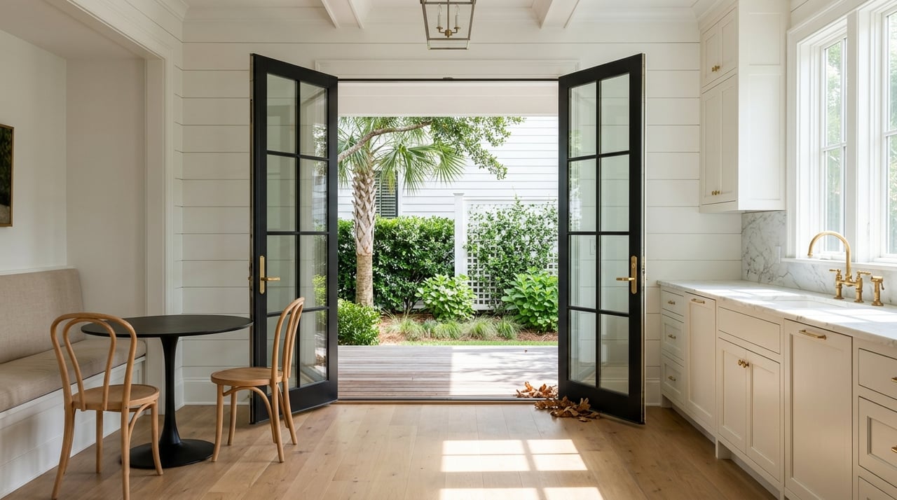
Newer Areas Feel Planned and Trail-Oriented
The newer-growth side of Mount Pleasant tends to feel more master-planned and recreation-focused. Here, the daily experience often centers on sidewalks, trails, open space, and newer infrastructure rather than historic character.
Carolina Park highlights a Residents Club, trails and sidewalks, passive parkland, preserved wetlands, Wando River frontage, and the Mount Pleasant Active Park. The Town’s Mount Pleasant Way network is designed to connect recreation facilities, parks, schools, neighborhoods, and commercial areas.
Current trail projects include the Kenny Mile Trail, the Park Avenue Boulevard and Carolina Park Boulevard Trail, and the IOP Connector Trail. Gary Santos Park on Rifle Range Road is also planned to add a gymnasium, athletic fields, tennis, pickleball, a playground, and trail connections.
What daily life often feels like
If you are drawn to newer homes, shared green space, and planned community features, these neighborhoods may feel especially appealing. Your routine may include more use of sidewalks, neighborhood trails, and recreation areas built into the broader development pattern.
These areas can also feel more self-contained in a different way than golf communities. Instead of centering on a club, they often center on parks, open space, and multi-use connections.
Expect active growth nearby
There is also a practical side to newer-growth areas. The Town says the Long Point Road at I-526 project is intended to reduce delays caused by heavy port-related traffic, and the I-526 and Hungryneck interchange project widened US 17 between the Wando Crossing area and the interchange.
For you, that may mean access to modern housing and infrastructure, but also a daily routine shaped by larger arterial roads and some nearby transportation work. In fast-growing parts of town, convenience and construction can exist side by side.
Three Questions Matter Most
No matter which part of Mount Pleasant you are considering, buyers usually come back to the same three practical questions: How much will I drive? What should I know about flood risk? And how do I verify school assignment?
Those questions matter because neighborhood feel is not just about appearance. It is about the details that shape your weekday mornings, weekends, monthly costs, and long-term comfort in the home.
1. How much driving is built in?
CARTA provides service in Mount Pleasant through routes 40, 41, 42, XP2, the seasonal Beach Reach Shuttle, and local park-and-ride locations. That gives residents more transit support than many suburban markets.
Still, transit is not a full replacement for a car in most neighborhoods. For many buyers, the better question is how often you expect to drive for work, errands, school drop-offs, recreation, and beach trips.
2. What is the flood picture?
Flood risk is a recurring concern, especially for waterfront and marsh-adjacent properties. The Town notes both localized flooding and storm-surge flooding, and it directs residents to flood maps and local flood-damage-prevention resources.
If a home is near the water or in a lower-lying area, it is wise to verify the flood map, elevation, and likely insurance costs early in the process. That simple step can help you compare homes more clearly and avoid surprises later.
3. How do school assignments work?
Charleston County School District says each school-aged child is assigned to a neighborhood school based on home address. The district also offers choice, magnet, and charter options.
That means school information should always be verified by the specific property address. If schools are part of your home search, it is important not to assume that an entire neighborhood shares the same assignment pattern.
How To Choose the Right Mount Pleasant Fit
A helpful way to narrow your search is to focus less on neighborhood names alone and more on the rhythm you want for your week. Think about where you want to spend your time, how often you want to drive, and whether you value historic setting, club amenities, central convenience, or newer planned features.
Here is a simple framework:
- Choose waterfront or historic areas if you want character, harbor access, public waterfront spaces, and a more scenic setting.
- Choose golf communities if you want recreation built around club amenities and a neighborhood-centered lifestyle.
- Choose central established areas if your top priority is convenient access to shopping, dining, services, and regional road connections.
- Choose newer developments if you prefer newer homes, trails, shared open space, and a more master-planned feel.
When you look at Mount Pleasant through that lens, the town becomes much easier to understand. You are not just choosing a house. You are choosing the pattern of life around it.
At Weichert, Realtors® - Lifestyle, we believe your best move starts with the right neighborhood fit. If you are comparing Mount Pleasant areas and want local guidance shaped by real day-to-day living, our team is here to help you find the lifestyle that feels most like home.
FAQs
How do Mount Pleasant neighborhoods differ in everyday living?
- Mount Pleasant neighborhoods differ most by daily routine, including walkability, water access, traffic patterns, amenity style, trail access, and how much driving is part of your day.
Which Mount Pleasant areas feel most walkable and scenic?
- Waterfront and historic areas such as the Old Village area near Charleston Harbor and Shem Creek often feel more pedestrian, scenic, and water-oriented than many inland parts of town.
Which Mount Pleasant neighborhoods have golf and club amenities?
- Golf-oriented communities such as Dunes West, Charleston National, and Snee Farm are known for amenity-rich, more internally focused lifestyles centered on golf, pools, tennis, fitness, and club spaces.
Which Mount Pleasant areas are best for daily convenience?
- Central areas near Coleman Boulevard, US 17, Johnnie Dodds Boulevard, and Mount Pleasant Towne Centre often stand out for nearby shopping, dining, services, and strong regional access.
Which newer Mount Pleasant neighborhoods have trails and planned amenities?
- Newer-growth areas, including communities such as Carolina Park, often emphasize sidewalks, trails, parks, preserved open space, and a more master-planned neighborhood layout.
What should buyers know about flood risk in Mount Pleasant neighborhoods?
- Buyers should verify flood zone, elevation, drainage, and likely insurance costs, especially for waterfront or low-lying homes, because the Town notes both localized flooding and storm-surge flooding.
How do school assignments work for Mount Pleasant homes?
- Charleston County School District assigns neighborhood schools based on the home address, so school zoning should be confirmed using the specific property address rather than assumed by neighborhood alone.
Is public transit available in Mount Pleasant neighborhoods?
- CARTA serves Mount Pleasant with routes 40, 41, 42, XP2, a seasonal Beach Reach Shuttle, and park-and-ride locations, but most buyers will still want to plan around regular car use.